-40%
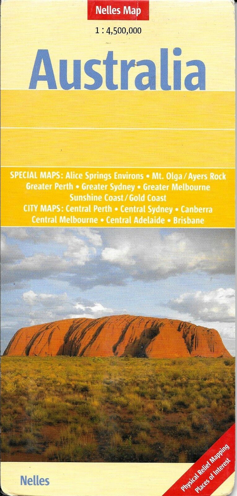
Map of Australia, by Nelles Map
$ 2.61
- Description
- Size Guide
Description
Map of Australia, by Nelles MapFeaturing an easy-fold system, this map of Australia is marked with tourist attractions and public transport systems.
This map also includes special maps of: Alice Springs, Greater Perth, Ayers Rock, Greater Sydney, Mount Olga, Greater Melbourne and the Sunshine Coast/Gold Coast.
It also includes city maps of Perth, Melbourne, Sydney, Adelaide, Canberra and Brisbane.
All major roads, airports and railways are shown, as are a number of smaller roads. Distances between major centers is shown.
The detail includes international and administrative boundaries, mountain peak and pass elevations, places of historical, religious or tourist interest, national parks and ancient sites. The legend is in English, German and French.
A good map must be hard-wearing and allow itself to be folded up simply and quickly. Nelles Maps are a handy pocket size with the reliable, practical concertina fold. In addition they use an extra high-quality speciality paper resulting in considerably increased fold strength.
Scale is 1:4,500,000. When unfolded, map measures approx. 30" x 20"
Note: Map is new, but shows minor shop wear on cover.
Publication date: 2005, ISBN
9783865740038
